Chesil Beach and the Fleet Lagoon
18 miles and 180 billion pebbles


Copyright Chesil Multi-
Last updated 5/12/20
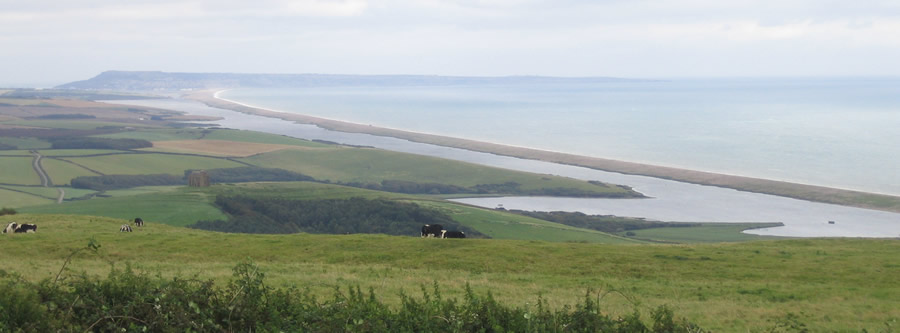
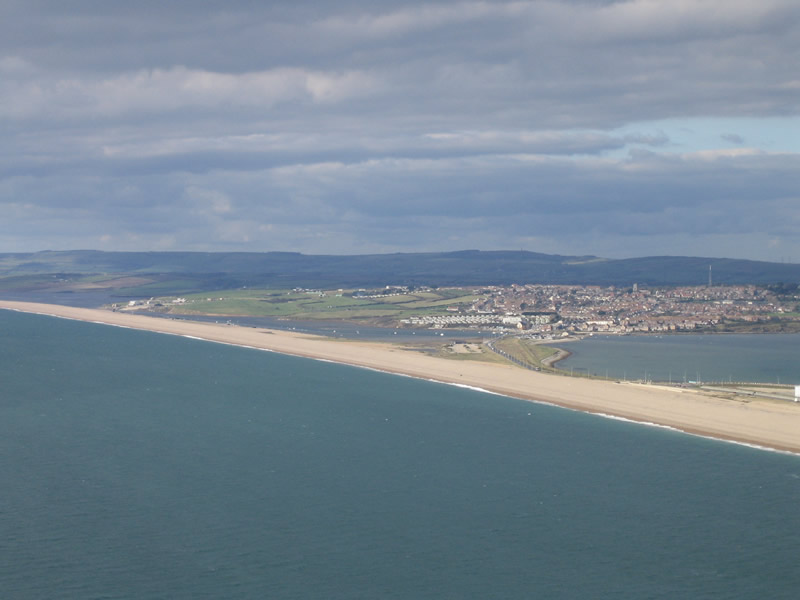
Chesil Beach is a linear shingle storm beach stretching from Portland in the south to West Bay in the north-
The seaward face of the beach is steeply shelving and this continues below the sea level until it gradually levels off at around 18 metres below sea level some 300 metres offshore in the southern part of the beach. Further north the offshore depth is around 11 metres.
There is a clear southern limit to the beach where it meets the limestone of Portland, but the northern limit is less distinct and depends on the definition used. Various limits have been proposed from Abbotsbury to West Bay. Geologically there is some merit in these arguments, but for practical purposes the limit is taken as the pier at West Bay. The pier is an effective barrier to longshore drift into or away from Chesil Beach.
The beach stabilised close to its present position some 5000 years ago. Since then it has been advancing slowly towards the mainland. Current estimates suggest that at the southern end this rate of advance is around 15 cms per year, with a slower rate further north. This advance occurs under storm conditions and is caused either by over-
Under storm conditions large quantities of pebbles can be removed from the beach onto the seabed. For severe storms the quantities can exceed 3 Million tonnes. Subsequent wave and tidal action then replaces these pebbles on the front of the beach.
There appears to be two types of storm conditions that affect Chesil Beach. The majority of storms are deep depressions approaching from the south-
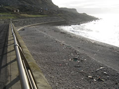
The southern end of Chesil Beach
Chesil Beach with Ferrybridge beyond
The name Chesil is derived from the old English ‘cisel’ or ‘ceosel’ and means shingle or gravel.