Chesil Beach and Fleet picture gallery
![]()
Sea Barn Hill
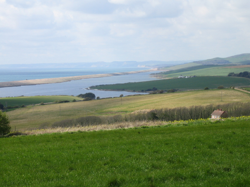
SY624805
10/4/2005
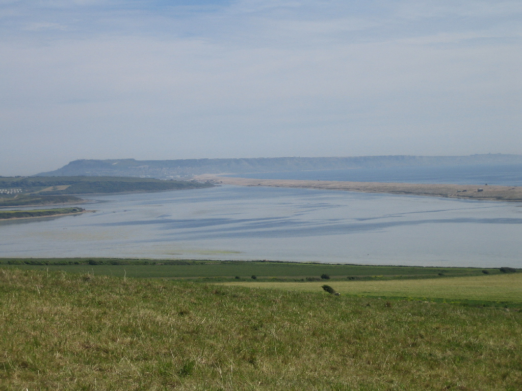
Chesil Beach and the Fleet taken from Sea Barn Hill looking south-east across Littlesea. The patterns in the water are due to deeper channels and growing Zostera.
SY624805
4/6/2006
Please note that some of the pictures on this page were taken on private property to which there is no public right of access. These images are included here with the landowners permission.
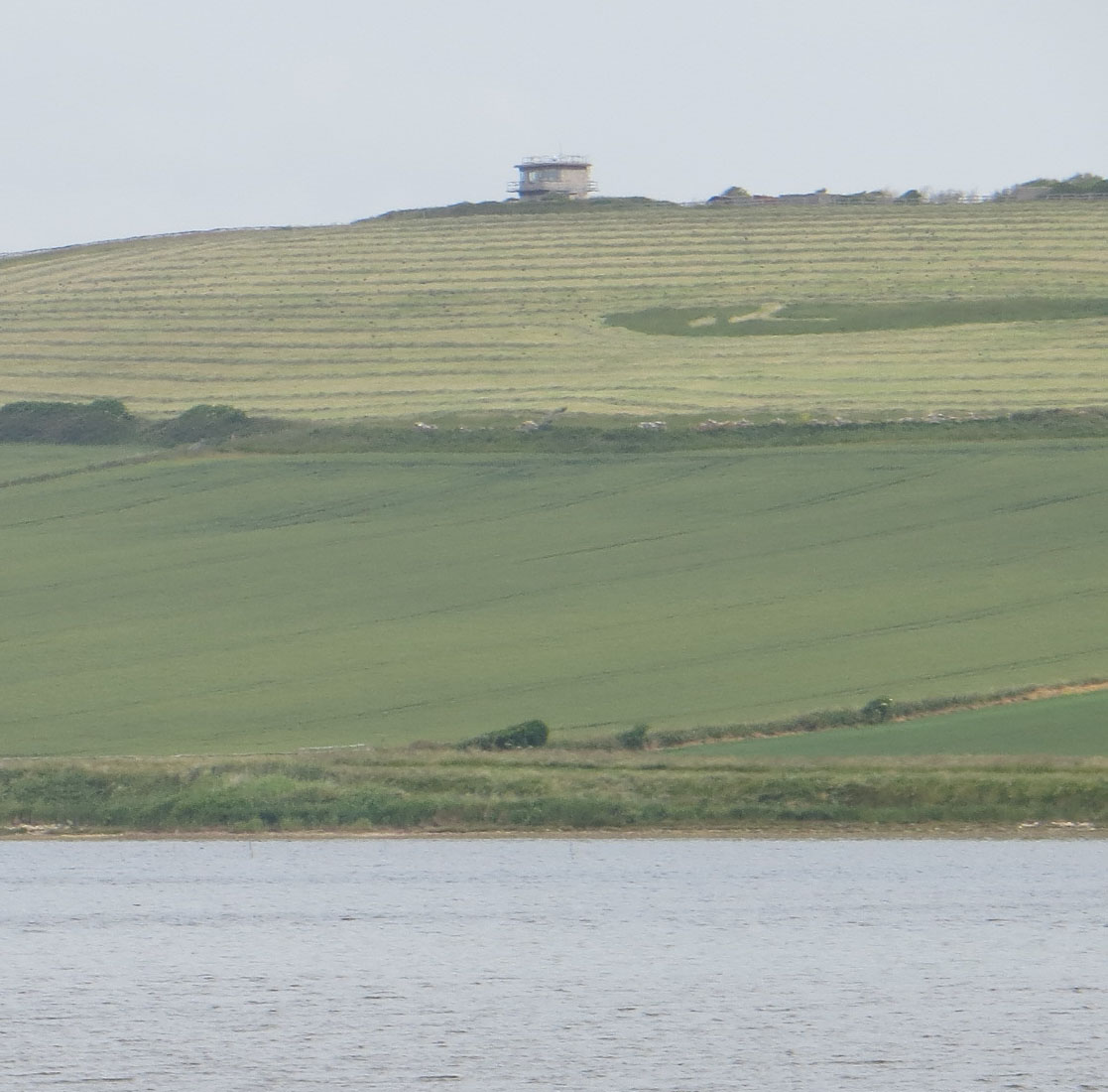
Sea Barn Hill from the Fleet. The building on top of the hill is the disused control tower for the Navy firing range in Lyme Bay. The range was closed when the Navy left Portland in 1995.
SY626794
11/6/2013
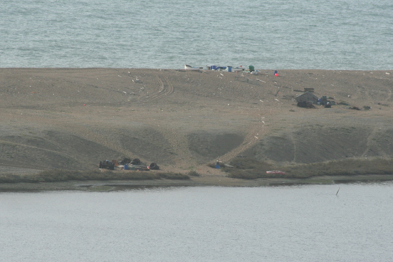
Fishing activity on Chesil Beach opposite Sea Barn Hill. Note the line of shrubby seablite along the shore line.
SY624804
11/3/2007
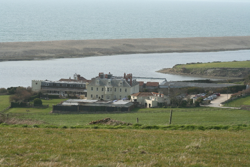
Fleet House, now the Moonfleet Hotel, taken from Sea Barn Hill. Herbury can be seen beyond the Hotel.
SY624804
11/3/2007
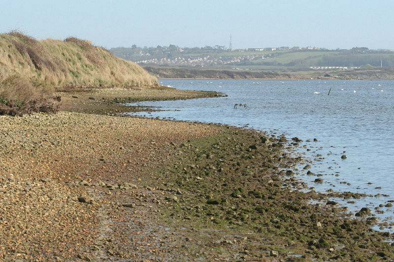
The Fleet shoreline below Sea Barn Hill looking south-east. The beach is a mix of pebbles, gravel, fossils and broken shells.
SY625800
11/3/2007
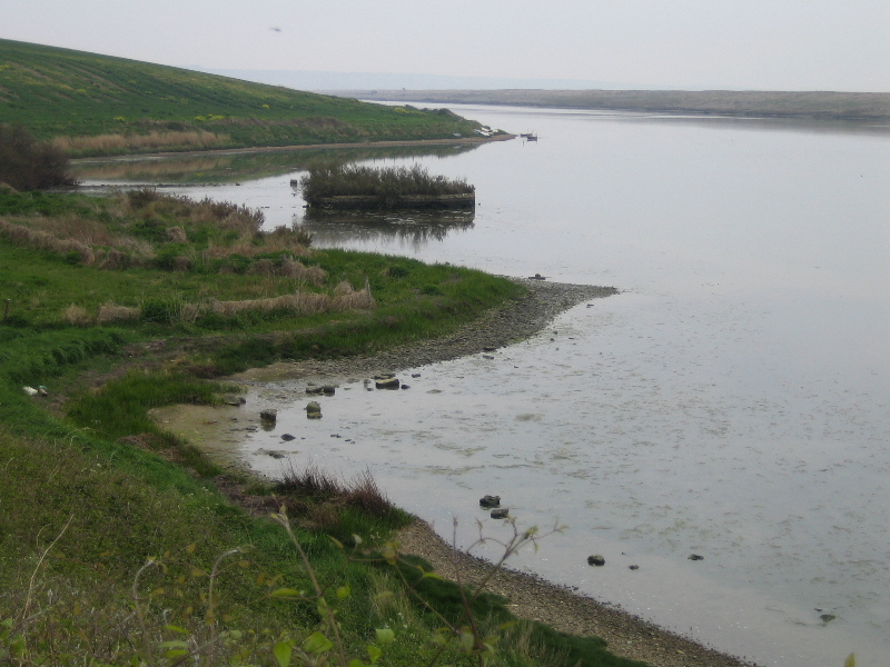
The Fleet looking south from near Fleet House boathouse towards Sea Barn Hill. The artificial island can be clearly seen.
SY616806
22/4/2007